
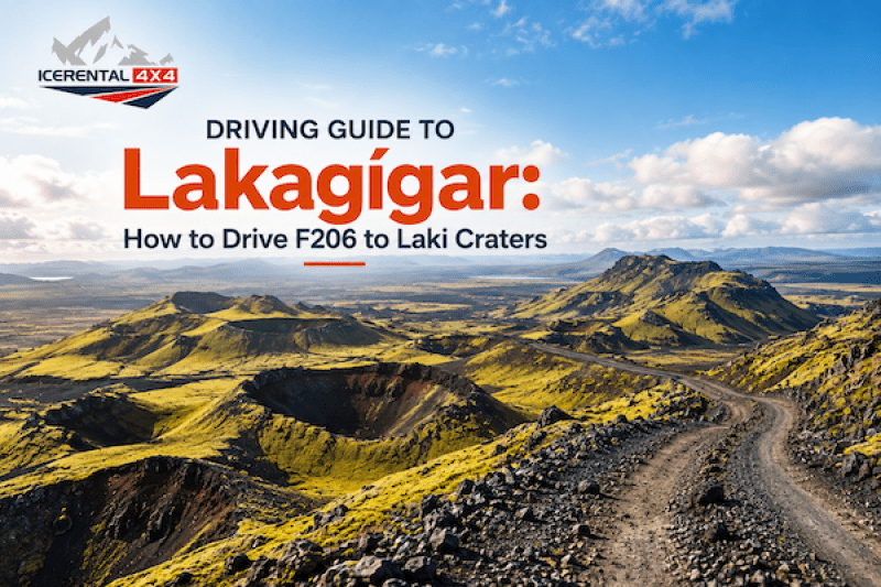
Driving Guide to Lakagígar: How to Drive F206 to Laki Craters
Discover how to reach the Laki Craters via F206 and F207, road conditions, river crossings, 4x4 requirements, hiking trails, and essential driving tips for Iceland's Highlands.
Lakagígar, also known as the Laki Craters, is one of Iceland's most extraordinary volcanic landscapes. Hidden deep within the Highlands, this spectacular chain of volcanic fissures stretches for approximately 27 kilometers (17 miles) and offers visitors an unforgettable journey through lava fields, craters, moss-covered terrain, and panoramic mountain views.
Getting there is an adventure in itself. The route follows Iceland's famous F206 and F207 mountain roads, crossing rough gravel tracks and several rivers before reaching one of the country's most remarkable geological sites. If you're planning to explore Lakagígar by rental car, this guide explains everything you need to know, from road conditions and vehicle requirements to the best stops along the way.
Key Takeaways: Lakagígar and the Laki Craters
- Lakagígar is a 27-kilometer volcanic fissure created during one of the largest eruptions in recorded history.
- The area is located in Iceland's Highlands within Vatnajökull National Park.
- Access is via F206 and F207, both of which are mountain roads requiring a legal 4x4 vehicle.
- Several river crossings make the route suitable only for properly equipped vehicles and experienced drivers.
- Summer is the only season when the roads are typically open.
- Hiking, crater viewpoints, volcanic landscapes, and peaceful wilderness make Lakagígar one of Iceland's most rewarding off-the-beaten-path destinations.
The Laki Eruption
In 1783, Iceland experienced one of the most devastating volcanic eruptions ever recorded. Rather than erupting from a single volcanic cone, the Laki eruption occurred along a massive volcanic fissure consisting of more than 130 individual craters.
For approximately eight months, enormous quantities of lava, volcanic ash, and poisonous gases were released into the atmosphere. The eruption covered vast areas of southern Iceland with lava while sulfur-rich gases destroyed crops, poisoned livestock, and caused widespread famine. It is estimated that around a quarter of Iceland's population died during the following years.
The eruption also had global consequences. Volcanic gases spread across Europe, affecting agriculture, weather patterns, and air quality far beyond Iceland's shores. Today, the lava fields created during this historic eruption form one of the country's most fascinating natural attractions.
What is Lakagígar and Why Should You Visit?
Lakagígar translates to "Craters of Laki," referring to the long chain of volcanic craters formed during the 1783 eruption.
Unlike many of Iceland's volcanoes, Lakagígar isn't dominated by a single mountain. Instead, visitors can explore dozens of craters scattered across an immense lava field covered with vibrant green moss.
The area offers a combination of geological history, dramatic scenery, and remarkable tranquility. Compared with Iceland's more famous attractions, visitor numbers remain relatively low, allowing travelers to experience the Highlands in near silence.
Highlights include:
- Panoramic viewpoints from Mount Laki.
- Volcanic crater lakes.
- Massive lava formations.
- Peaceful hiking trails.
- Incredible photography opportunities.
Where is Lakagígar Located in Iceland?
Lakagígar lies within the western section of Vatnajökull National Park in Iceland's Southern Highlands.
The closest town is Kirkjubæjarklaustur, located along the Ring Road (Route 1). From there, travelers leave the paved highway and head inland via F206.
Although the distance isn't particularly long, driving times are considerably slower due to rough mountain roads and river crossings. Most visitors should allow an entire day for the trip.
How to Reach Laki Craters?
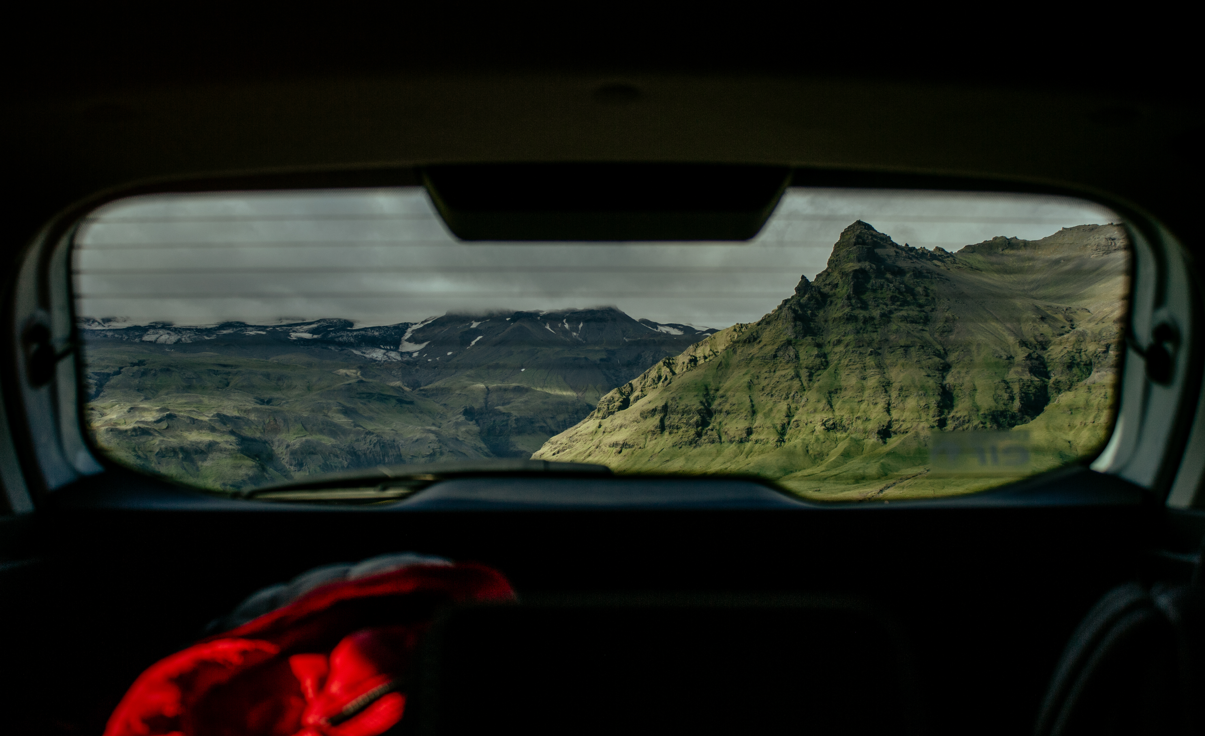
The journey begins by leaving Route 1 near Kirkjubæjarklaustur and following F206 north toward the Highlands.
After entering the mountain road, the landscape quickly transforms from farmland into volcanic deserts, moss-covered lava fields, rivers, and rugged mountains.
Near the Blágil Ranger Station, drivers can continue onto F207, which forms a scenic loop through the heart of the Laki crater system before reconnecting with F206.
The circular route allows visitors to experience several viewpoints and hiking opportunities without retracing every kilometer.
Do You Need a 4x4 Vehicle to Drive to Lakagígar?
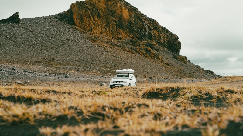
Yes. A four-wheel-drive vehicle is legally required on F206 and F207. These are designated F-roads (mountain roads), meaning standard two-wheel-drive vehicles are prohibited.
Even experienced drivers should choose a vehicle with sufficient ground clearance, as road conditions vary significantly depending on recent weather, snowmelt, and river levels.
Medium and larger 4x4 SUVs generally provide the safest and most comfortable experience.
Lakagígar Road Conditions
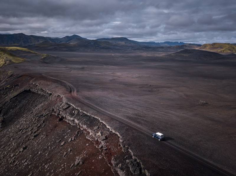
F206 is an unpaved gravel mountain road that includes rocky sections, uneven surfaces, loose stones, potholes, and steep grades. Conditions can change rapidly throughout the summer due to rainfall and increased river flow. Driving speeds are typically much lower than on paved roads, and it's important to allow plenty of time for the journey.
F207 is even rougher than F206 and should only be driven in suitable 4x4 vehicles.
River Crossings: What You Need to Know
Several rivers must be crossed when driving toward Lakagígar. Water depth changes throughout the day depending on rainfall and glacier melt, making every crossing different.
Before entering any river:
- Stop and assess the water level.
- Never attempt a crossing if you're uncertain about the depth.
- Cross slowly and steadily without changing gears.
- Follow existing tire tracks whenever possible.
- Never drive through fast-flowing water.
If conditions appear unsafe, it's always better to turn around than risking your safety and damaging your vehicle.
Your Step-by-Step Route Guide to Driving the F206 and F207
The drive to Lakagígar is one of Iceland's most scenic Highland adventures.
Leaving the Ring Road Near Kirkjubæjarklaustur
The route begins east of Kirkjubæjarklaustur, where F206 branches off from Route 1. Within minutes, paved roads disappear, replaced by lava fields, gravel tracks, and increasingly dramatic scenery.
As you climb toward the Highlands, traffic becomes sparse, creating a true sense of wilderness.
Passing the Fagrifoss Waterfall
One of the first major highlights along F206 is Fagrifoss, whose name fittingly means "Beautiful Waterfall."
A short walk from the parking area leads to impressive views of the waterfall cascading into a deep canyon surrounded by volcanic cliffs. It's an excellent place to stretch your legs before continuing deeper into the Highlands.
The Blágil Ranger Station and River Crossing
Near the center of the Laki area lies the Blágil Ranger Station. This marks an important junction where drivers continue onto F207 to explore the crater loop.
Depending on seasonal conditions, nearby river crossings may require extra caution. Rangers can often provide updated information about road conditions during the summer season.
Top Things to See and Do at the Laki Craters
Lakagígar offers much more than simply driving through volcanic landscapes.
Hiking to the Summit of Mount Laki
The short hike to Mount Laki is one of the highlights of any visit. From the summit, visitors enjoy spectacular panoramic views across endless rows of volcanic craters stretching toward Vatnajökull Glacier.
On clear days, the scenery is among the finest in Iceland.
Exploring the Tjarnargígur Crater Lake
Tjarnargígur is one of the most picturesque craters within the volcanic system. Its calm lake contrasts beautifully with the surrounding black lava and vibrant green moss, creating one of the area's most photogenic locations.
Walking Through the Eldborg Crater
Eldborg is one of the largest craters in the Lakagígar fissure. Visitors can walk around portions of the crater rim while appreciating the immense scale of the eruption that shaped this remarkable landscape over two centuries ago.
Crucial Safety Tips for Driving to Lakagígar
Driving in Iceland's Highlands requires preparation and caution.
Before departing:
- Check road conditions and weather forecasts.
- Confirm that F206 and F207 are officially open.
- Fill your fuel tank before leaving Kirkjubæjarklaustur.
- Bring food, water, warm clothing, and emergency supplies.
- Download offline maps, as mobile coverage can be limited.
When driving:
- Reduce speed on gravel roads.
- Watch for loose rocks and blind hills.
- Respect all warning signs.
- Never drive off marked roads, as the fragile moss can take decades to recover.
When crossing rivers:
- Never rush.
- Walk the crossing first only if conditions are safe and permitted.
- Cross one vehicle at a time.
- If another driver is already crossing, wait until they have fully exited the river.
- Turn around if the water appears deeper than your vehicle's recommended wading depth.
A cautious approach ensures both your safety and the preservation of Iceland's unique environment.
Frequently Asked Questions
The answers to these commonly asked questions can help you plan a memorable and safe trip to Laki Craters.
- Can I drive a Dacia Duster to Lakagígar?
Yes, a Dacia Duster is one of the more popular vehicles for driving to Lakagígar during normal summer conditions. Its four-wheel drive and reasonable ground clearance make it suitable for F206, provided drivers exercise caution at river crossings and always assess current road conditions. If water levels are unusually high, a larger 4x4 with greater clearance may be a safer choice.
- When does the F206 road to Laki open?
F206 usually opens between late June and early July, depending on snow conditions, road maintenance, and river levels. Closing dates vary as well, but the road generally remains open until early autumn before winter weather returns. Always verify current road conditions before beginning your trip.
- Are there gas stations or services near Lakagígar?
No. There are no fuel stations, restaurants, grocery stores, or vehicle services once you leave Kirkjubæjarklaustur. Visitors should fuel up before entering the Highlands and carry enough supplies for the entire day.
Are You Ready to Discover Lakagígar?
Lakagígar is one of Iceland's greatest self-drive adventures. From volcanic craters and lava fields to panoramic viewpoints and peaceful hiking trails, every kilometer offers a glimpse into the incredible geological forces that shaped the island.
With a capable 4x4 rental, careful planning, and respect for Highland driving conditions, you'll discover one of Iceland's most unforgettable destinations—far beyond the country's busiest tourist routes.
